Skip to main contentSkip to main navigationSkip to footer content

Land Surveying, AS

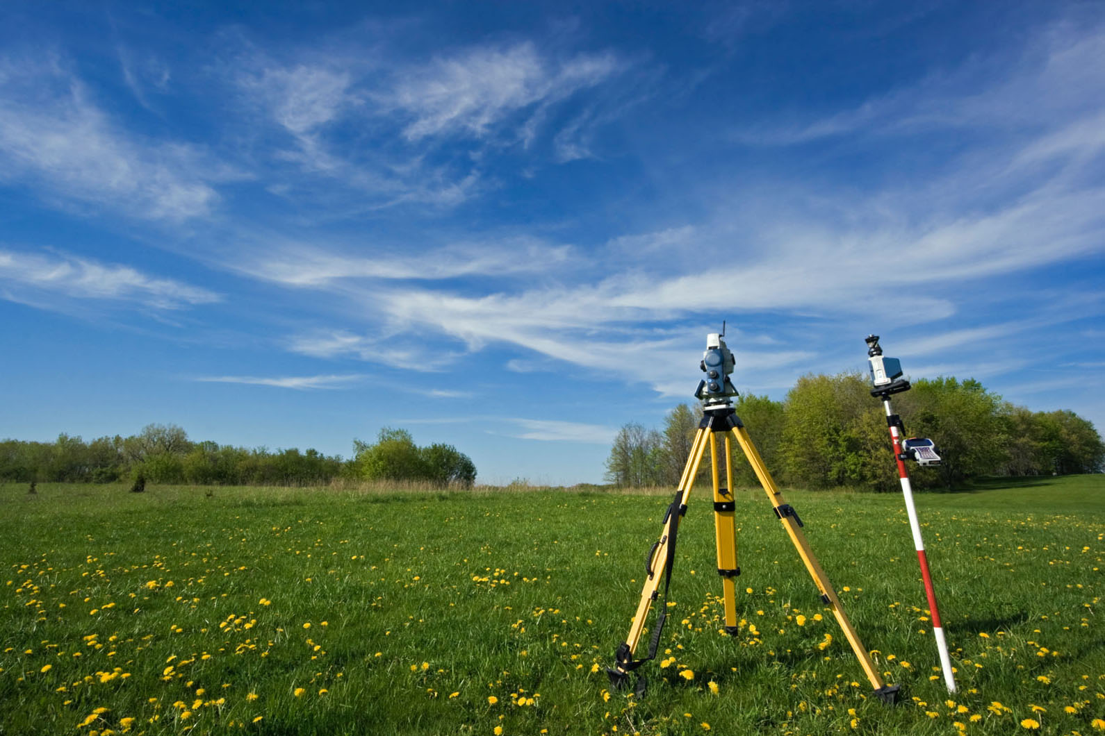
The Associate of Science degree in Land Surveying provides the student a thorough background in land surveying and mapping in addition to an introduction to collection, manipulation, formatting and mapping of geospatial data. The successful graduate of this program will have the technical expertise necessary for an entry level position in the fields of Geographic Information Systems, Land Surveying, and Digital Photogrammetry. The program also assists those students preparing for the State Land Surveyor-In-Training and Land Surveyor’s Exams. The State Board of Registration for Professional Engineers and Land Surveyors will grant one year of experience credit for students completing an Associate Degree in Survey/Mapping Sciences.

land


Not Sure Where to Start?

Meet with a counselor to help guide you through the process of picking a major, and getting a career path on track.

Contact Counseling

Explore Other Pathways

Santiago Canyon Colleges Career and Academic Pathways is here to help you find the right program. Degrees and certificates have been grouped together based on Interest Areas

Explore Now

About Program Maps

*This course meets both a general education and a major requirement

This program map only contains general education and major requirements for the AA/AS/AA-T/AS-T degree. It does not include prerequisites/corequisites, or additional major preparation that may be required for transfer to specific universities.

This map does not replace an individualized comprehensive student education plan (CSEP). Please see a counselor for accurate planning.

Intersession and summer are additional optional terms.

If you are applying to a University of California (UC) campus, area 6: Language other than English is required and may need to be added to your education plan. Area 6 may be met by 2+ years of the same language taken in High School with grades of C- or higher.

View Program Map